WELCOME TO MOUNT ATHOS INFORMATION
The Holy Mount Athos is an autonomous and self-governed territory of Greece. It occupies the whole of the third peninsula of Halkidiki Greece, about 50 km in length and having a breadth of 8-12 km covering an area of 330 square kilometers.
In the center of the peninsula of Mount Athos rise a long range of hills and mountains, culminating in Mount Athos itself, 2,033m above sea level.
The boarder of this monastic state, where it meets the rest of Greece, is marked by an imaginary line drawn from Francocastro on the western coast across to Cape Arapis on the opposite coast, passing close it the foothills of the mountain “Megali Vigla” (Megas Zigos).
Until the 3rd Century BC, many small Greek towns existed on the peninsula of Athos, principally colonies originating from Chalkida and Eretria. The most important of which were Sani, Ouranoupolis, Thisson, Kleones, Dion, Akrathos and Olofixos. Later, these towns declined or were destroyed.
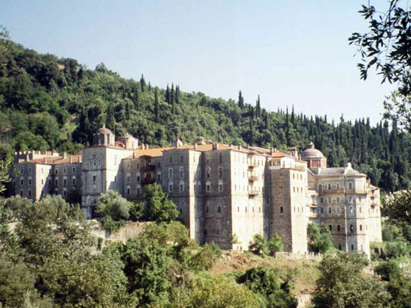
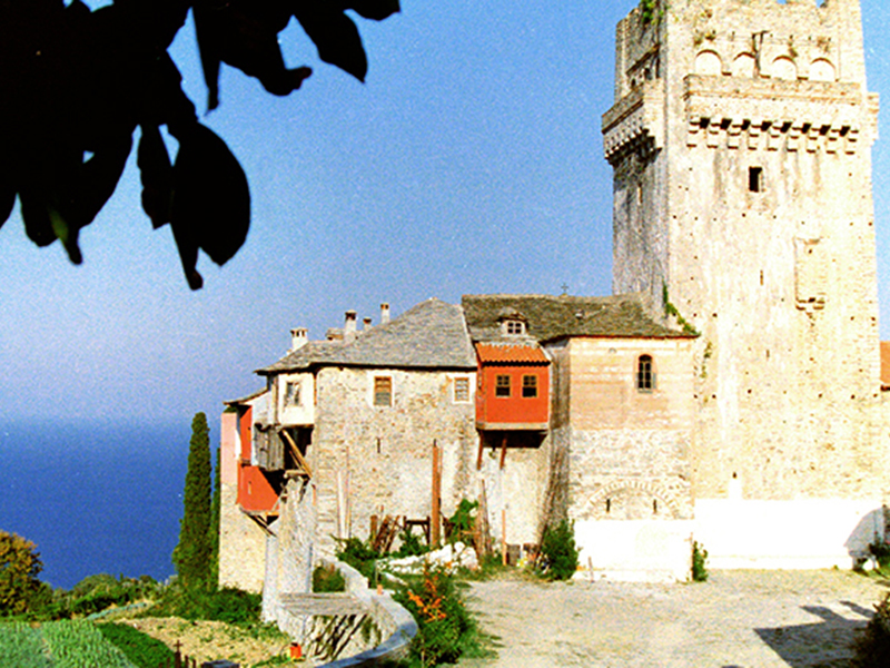
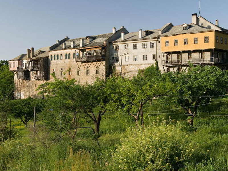
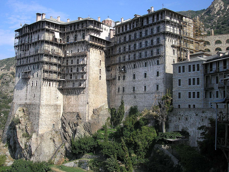
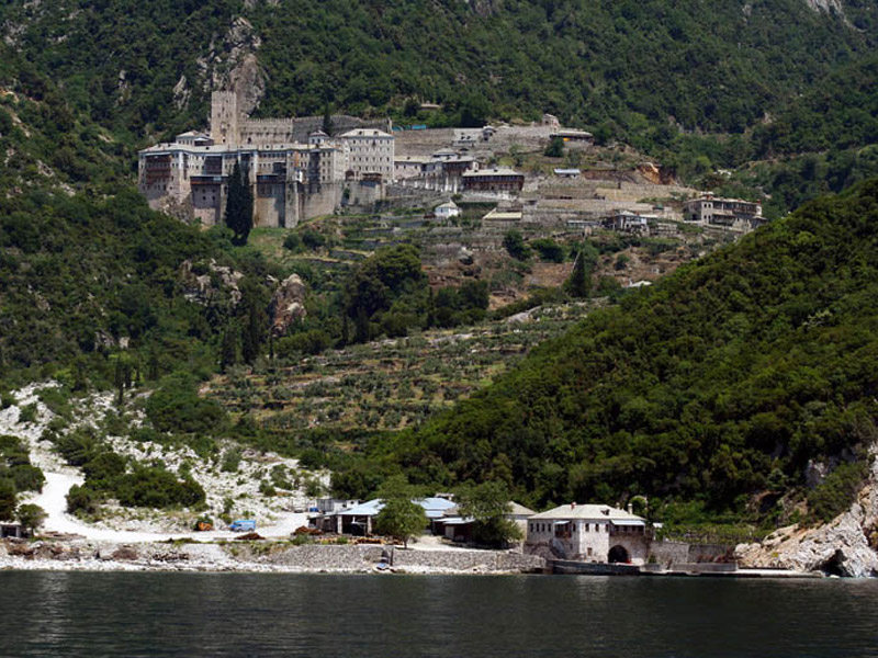
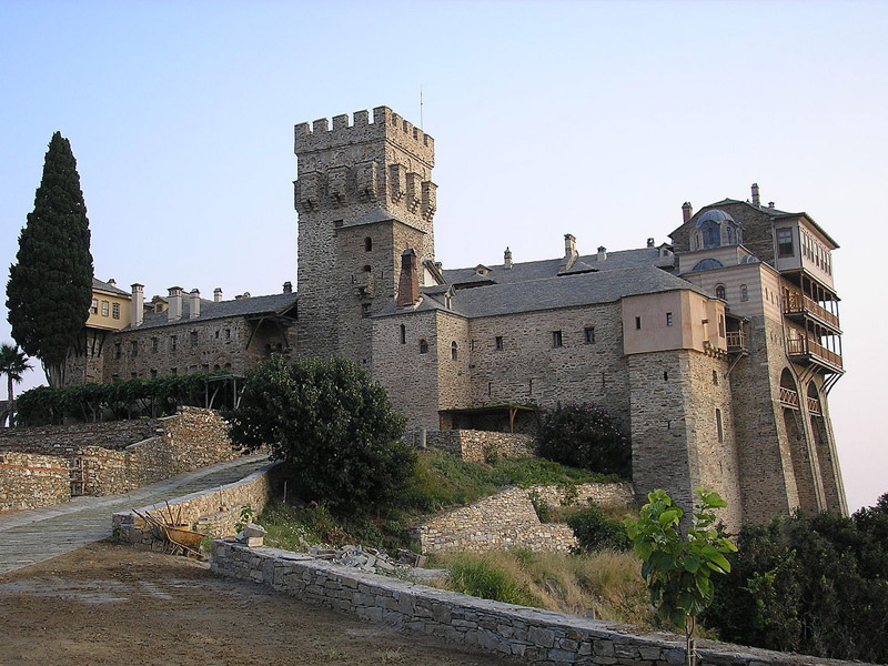
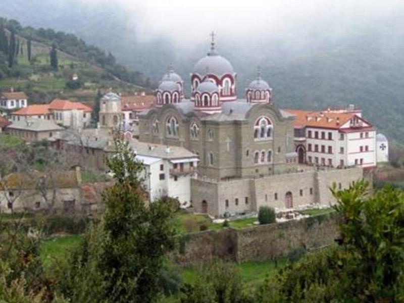
MONASTERIES IN MOUNT ATHOS
View all the monasteries in the Holy Mountain
Pilgrims Information
The region is governed by the “Holy community” under the ecumenical Patriarch of Constantinople
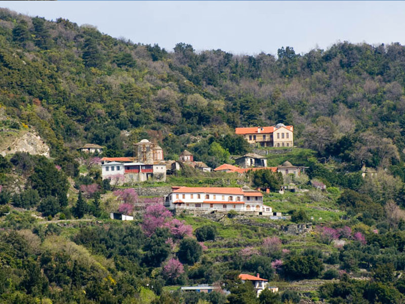
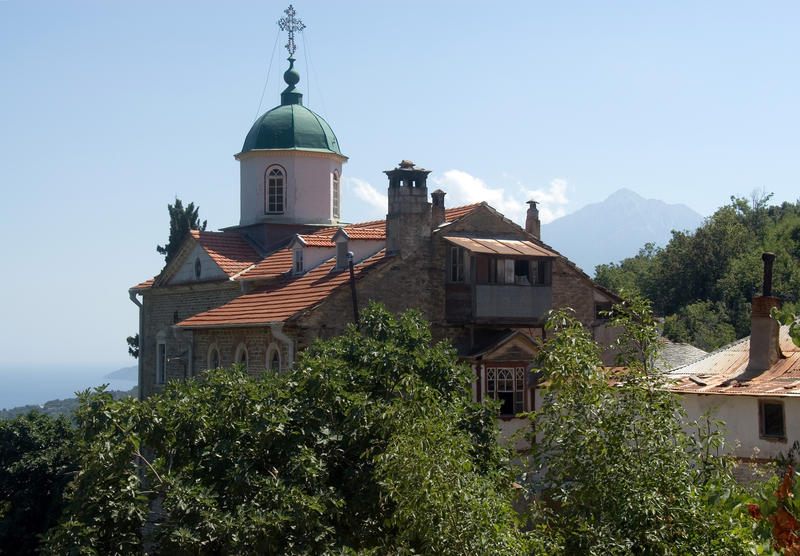
HOLY SKITES
View All the Skites in Mount Athos
Celebrations
The region is governed by the “Holy community” under the ecumenical Patriarch of Constantinople


